On the waterMallorca
Three days up the Tramuntana coast under sail
May–Oct
Sixty miles of cliff with one sheltered harbour in the middle of it. This is how a three-day sail from Palma up the Tramuntana coast actually breaks down — the legs, the anchorages that hold, the afternoon breeze that decides your arrival time, and the eastern plan B you should have ready before you leave the berth.

The Tramuntana coast is the reason people charter out of Palma and it is also the part of the week that most often does not happen. Sixty-odd miles of limestone falling straight into deep water, almost no harbours, and a wind named after the mountains that stands the whole thing up as a lee shore.
Three days is enough to do it properly as far as Port de Sóller and back. It is not enough to run the coast to Formentor and return, whatever the mileage suggests on a chart. What follows is the version that works.
Day one: Palma to Sant Elm
Out of the bay, past Cap de Cala Figuera and along the western shore. It is fifteen to twenty miles depending which base you leave from, and it is the only leg of the three where you can leave late and still arrive in daylight.
The target is the channel between Sant Elm and Sa Dragonera. Illa des Pantaleu, the small island just off Sant Elm, gives you sand at moderate depth and shelter from anything with west in it. Cala Lladó on Dragonera itself has a handful of visitor buoys, and the island is a protected area with rules of its own — the base will brief you, and it is worth asking again on the day rather than assuming last year’s arrangement still applies.
If the forecast is already soft, Port d’Andratx is ten minutes away and takes the pressure off the first night. It also puts you two miles further along the route than Sant Elm, which matters on day two.
Day two: the long cliff run
This is the day the trip exists for, and it is the day that cancels it.
From Sant Elm to Port de Sóller is roughly thirty miles with essentially nothing in between: Port des Canonge, Port de Valldemossa and Sa Foradada are open roadsteads with room for a few boats each and no protection from the north. Cala Deià is a slot in the rock that takes two boats and a lot of nerve. The cliffs run to several hundred metres in places and the wind either accelerates down the torrent valleys or falls dead flat in the lee of them, sometimes within a mile of each other.
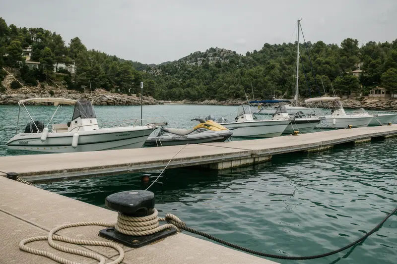
Leave early. Sa Foradada — the headland with the hole through it below Son Marroig — is the natural lunch stop at about the two-thirds point, and it is a lunch stop rather than an overnight one. Get into Sóller by mid-afternoon. The entrance faces roughly north-west, which means a northerly swell rolls into the mouth even when the basin behind is calm, and the approach is not somewhere you want to be arriving at dusk in a rising sea.
Day three: turn round, or push to Cala Tuent
The honest recommendation is to turn round. Sóller to Palma is the same thirty miles back plus the run down the western shore, and doing it in one day means leaving at first light.
The alternative, if the base allows a one-way return or you have a fourth day hidden somewhere, is Cala Tuent — a broad open bay under Puig Major with sand, depth you can anchor in, and the mouth of the Torrent de Pareis a couple of miles further on at Sa Calobra. Sa Calobra itself is a day-boat destination rather than an anchorage; the tourist boats from Sóller work it hard from mid-morning and there is no shelter worth the name.
| Leg | Distance | Realistic time | Shelter at the end |
|---|---|---|---|
| Palma to Sant Elm | 15–20 nm | 3–5 h | Good, from N and W |
| Sant Elm to Port de Sóller | 28–32 nm | 5–7 h | Full, all directions |
| Port de Sóller to Cala Tuent | 8–10 nm | 2 h | Open, settled weather only |
| Port de Sóller to Palma | 45–50 nm | 8–10 h | — |
The wind is the whole plan
Two systems matter and they behave differently.
The Tramuntana is the gradient northerly that comes over the mountains from the Gulf of Lion. It can arrive with little warning in spring and autumn, it blows for two or three days once it settles in, and it turns this entire coastline into a lee shore with one harbour. Charter contracts frequently restrict departure above a stated strength, and this is the coast where the base will actually enforce it.
The embat is the summer sea breeze. It fills in from late morning on settled days, peaks mid-afternoon and dies in the evening. It is what you sail on in July and August, and it is also why arriving somewhere at four o’clock is harder than arriving at one.
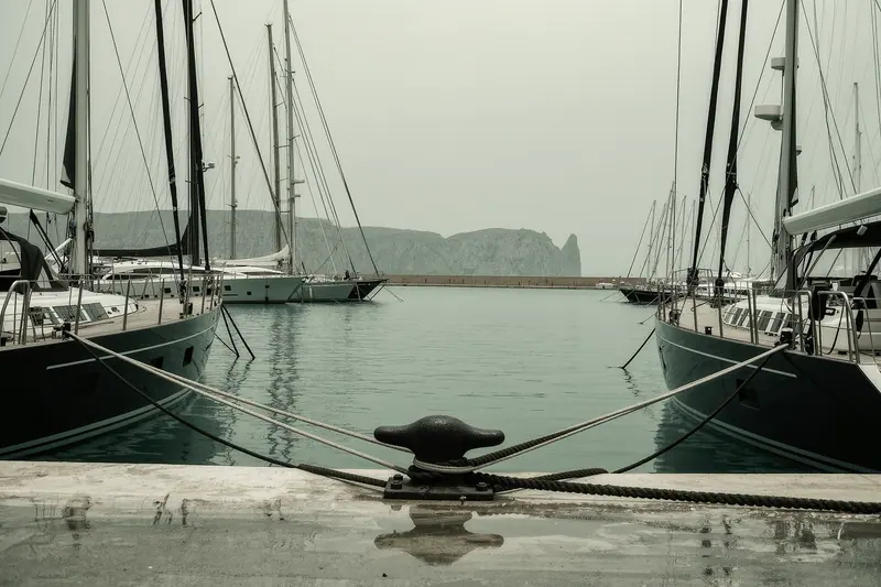
The plan B, written before you leave
Have it ready. If there is northerly in the three-day forecast, go east instead: Cala Pi, Es Trenc, the Colònia de Sant Jordi shallows and the run towards Santanyí give you sand, swimming and a coast that is a weather shore in exactly the conditions that shut the north down.
The mistake is treating the Tramuntana route as the booking and the east coast as the disappointment. Sailors who keep coming back to this island do the opposite — they read the forecast at the briefing table and pick the coast that suits it, and they book a boat with a deposit arrangement they can live with either way. The three days you get are the three days the weather gives you, and on this island the weather has a strong opinion about the north.
What to check before you book
- Ask the base, in writing, whether the contract restricts you from leaving in a stated wind strength. On this coast that clause is used.
- Confirm a berth in Port de Sóller before you commit to the route. It is the only genuine shelter between Andratx and Pollença and it fills in July and August.
- Check the boat carries enough chain for 15–20 metres of water. Tramuntana anchorages are deep close in and short scope is the usual reason people drag.
- Load the official Balearic seagrass map onto a phone before you sail. Anchoring on posidonia is prohibited and fined, and it is checked from the air.
- Agree with the base what happens if weather strands you north of Sóller on the last night, including who pays for the extra berth.
- Fuel before you go north. There is no realistic refuelling between Andratx and Port de Sóller.
Questions people actually ask
- Can you sail the whole Tramuntana coast in three days?
You can cover Palma to Port de Sóller and back comfortably in three days, and Palma to Pollença one way if the wind is behind you. Sailing the full coast and returning in three days is a delivery, not a holiday — it leaves no margin for a bad forecast and no time in any of the anchorages. Treat Sóller as the turning point unless you have a week.
- Where can you shelter on the Tramuntana coast?
Port de Sóller is the only all-weather harbour on the entire north-west coast, and it is a genuine bolt hole with a narrow entrance and a round basin behind it. Everything else — Port des Canonge, Port de Valldemossa, Sa Foradada, Cala Deià, Cala Tuent — is an open roadstead that works in settled southerly or calm conditions and becomes untenable in anything from the north.
- What is the embat and does it affect this route?
The embat is the afternoon sea breeze that builds along the Mallorcan coast on settled summer days, usually filling in from late morning and dying in the evening. On the north-west coast it can funnel hard down the valleys and gust well above the gradient wind. Plan to arrive at an anchorage before it peaks rather than beating into it at four in the afternoon.
- Do I need a permit to anchor anywhere on this coast?
No general permit, but there are two constraints that bite. Posidonia seagrass meadows are protected across the Balearics and anchoring on them is prohibited, so you need to drop on sand. Sa Dragonera and parts of the Tramuntana coast sit inside protected areas with their own local rules, which the charter base should brief you on and which you should verify before the trip.
- Is it better to go north or east from Palma?
North is the better sailing and the better scenery. East is the more reliable holiday. If your three days fall in a settled spell with light southerlies, go north without hesitating. If the forecast has any northerly component in it, the east coast calas give you the same swimming with a fraction of the anxiety.